The BROADACRE Build
Broadacre:
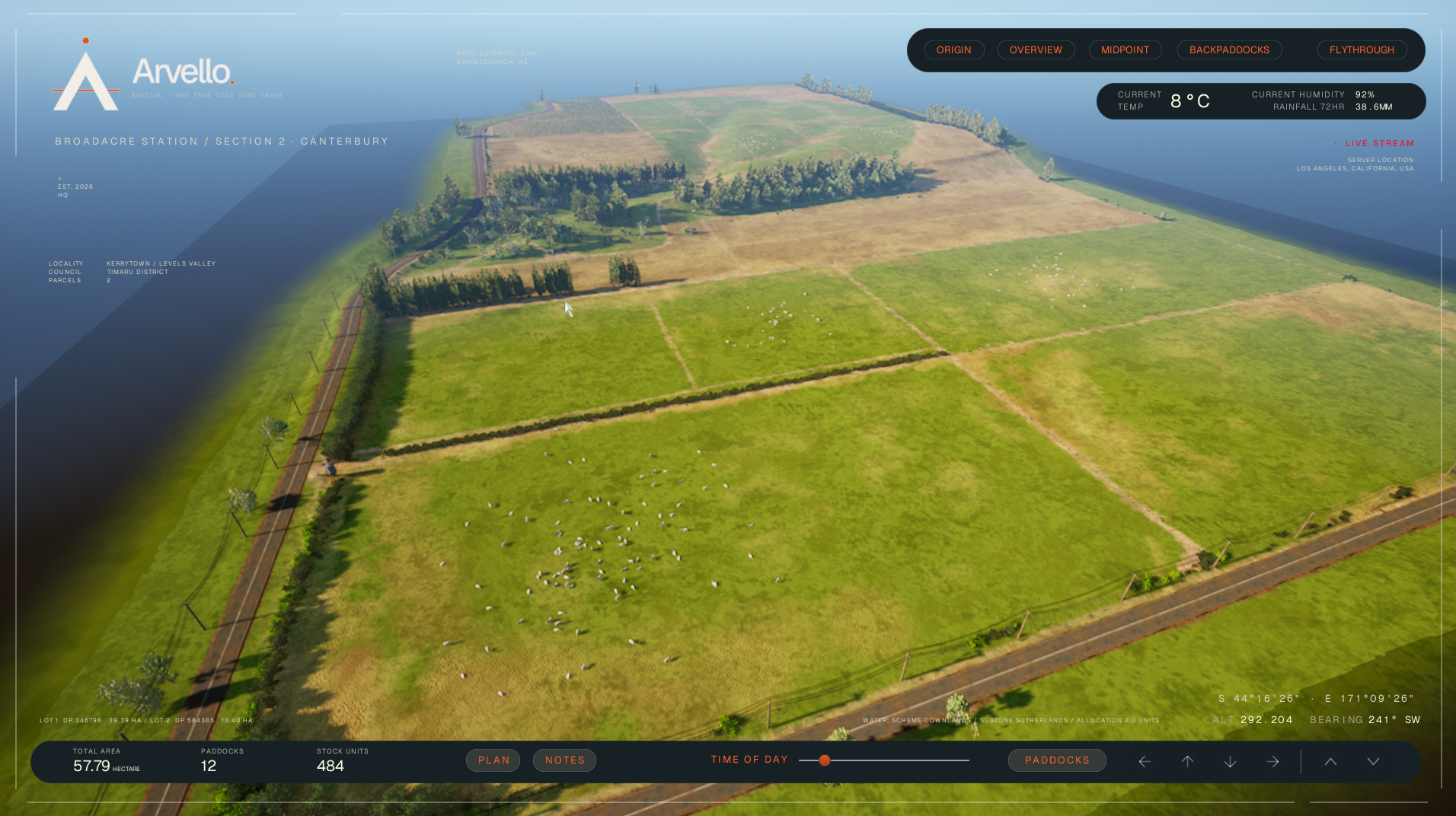
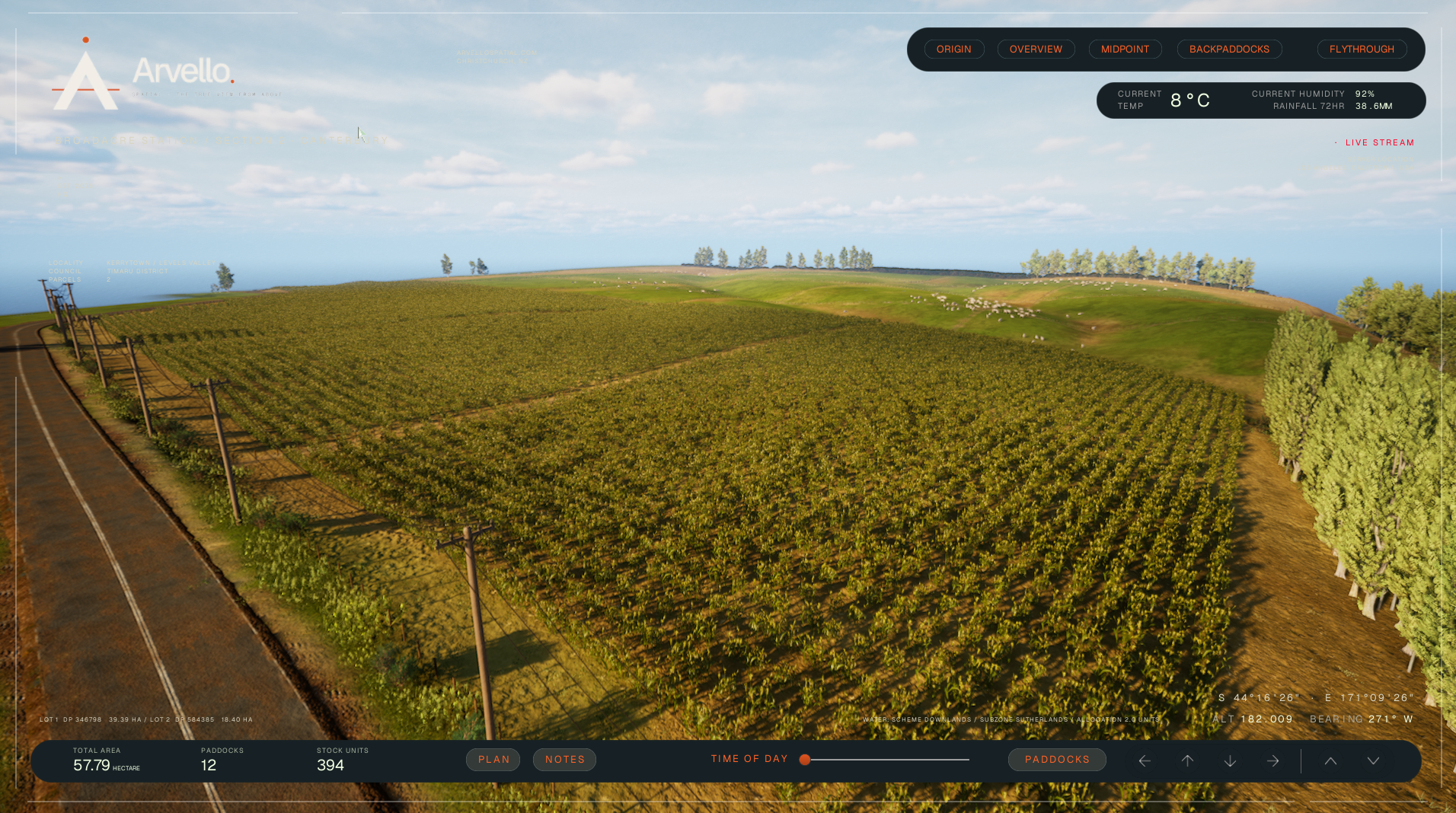
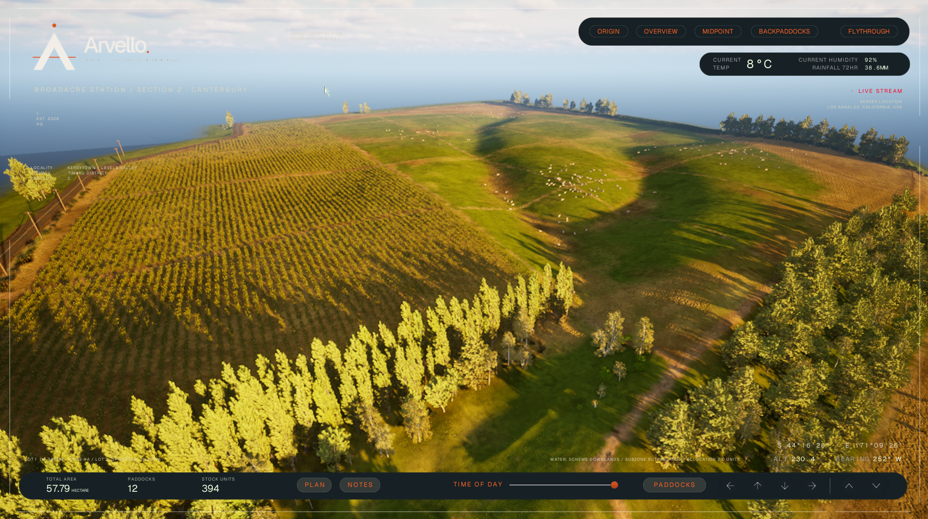
an interactive 3D visualisation of a Canterbury farm
A 57 hectare mixed cattle and cropping property in Canterbury, New Zealand.
Twelve paddocks in rotation, a road boundary, shelter belts, the ordinary detail of a working farm. It's the kind of place that's genuinely hard to show someone properly. A drone photo captures a moment and nothing else. A map shows where the boundaries sit and tells you nothing about what the land actually feels like.
That's usually fine, until someone who's never walked the property needs to understand it. An investor deciding whether to back it. A buyer trying to work out if the asking price makes sense from three photos and a listing.
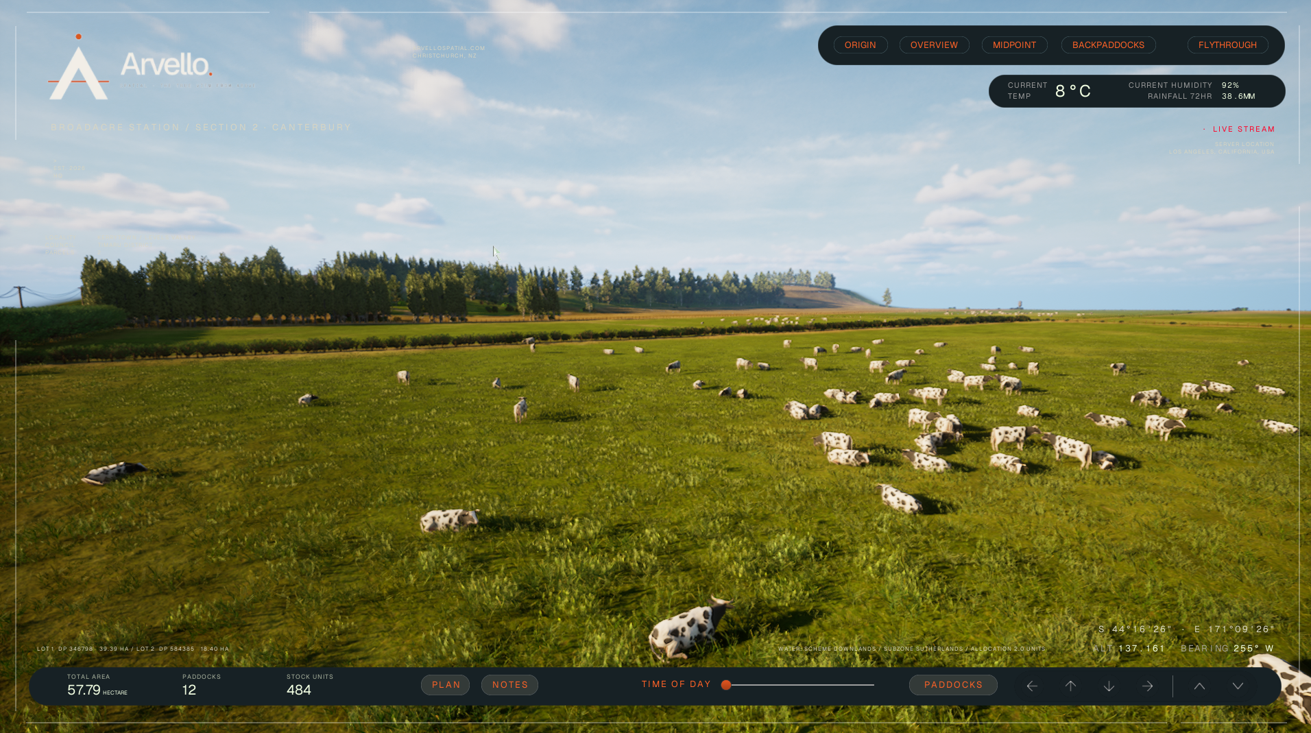
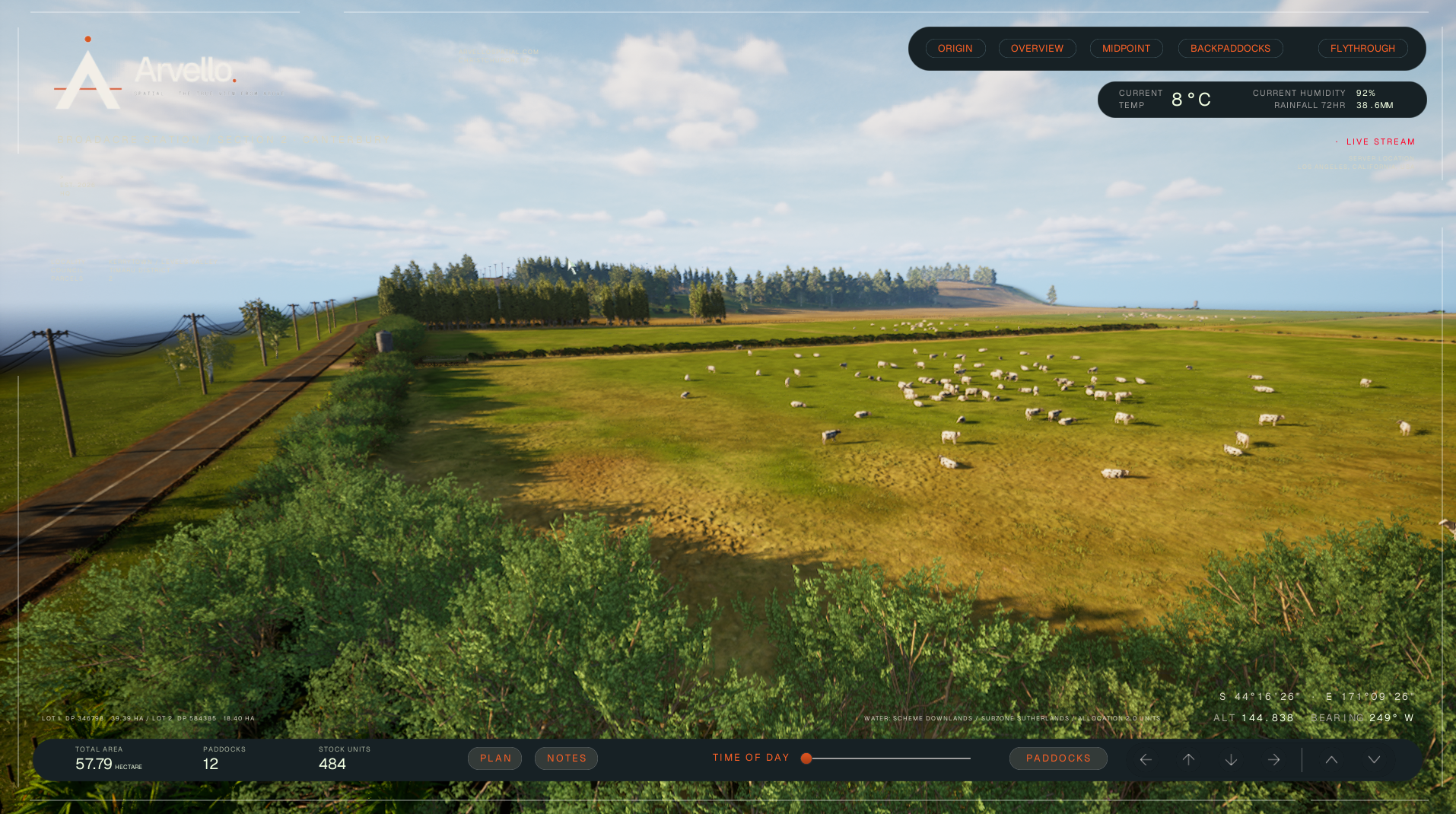
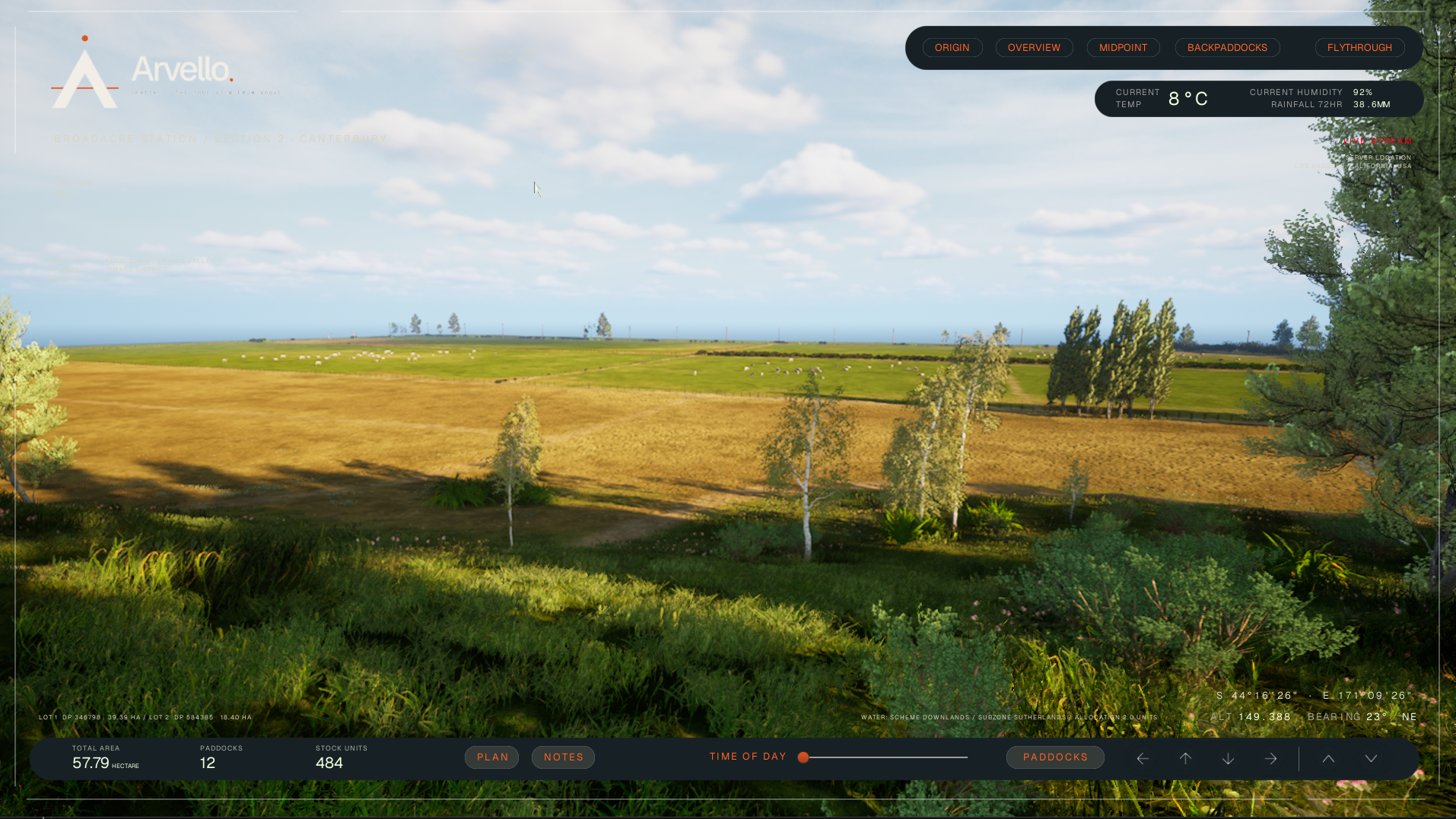
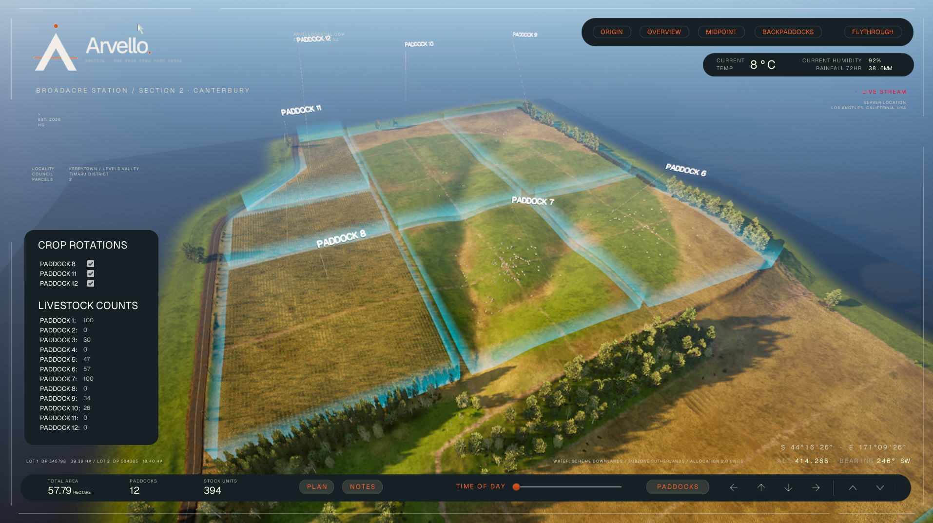
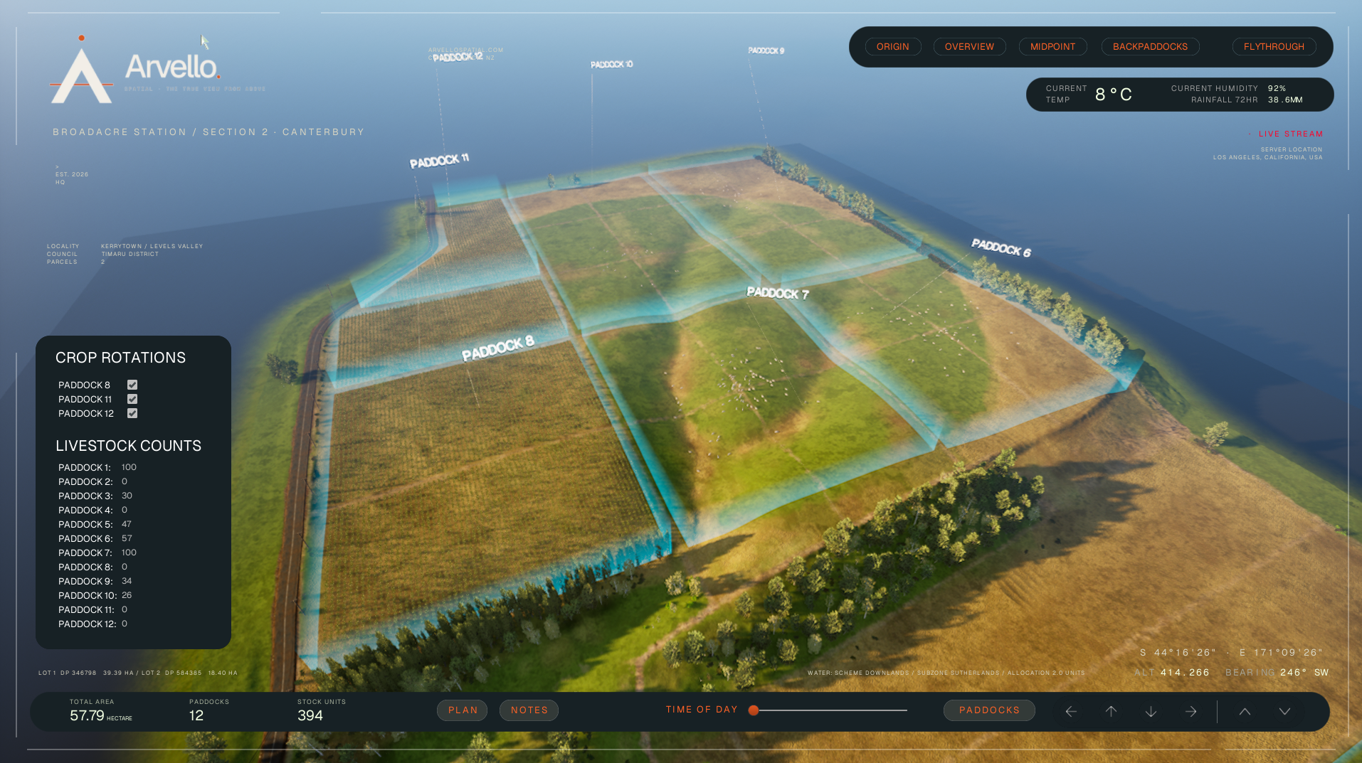
So we built Broadacre properly. Every paddock is labelled and tracked, stock counts, crop rotation, notes on what needs doing. Live weather pulls in against the real location. Open it and you can move through the property yourself, at your own pace, looking at whatever you actually want to look at, not whatever a photographer happened to point a camera at.
It runs in a browser, so the person you're showing it to doesn't need anything more than a link.
What it gives you is simple. A way to actually show someone the land, rather than describe it or hope a photo does the job.
Try it yourself by pressing the button below.
The property
Broadacre is Arvello's demonstration build: a 57 hectare mixed cattle and cropping farm in South Canterbury, New Zealand. It's small enough to build every paddock in detail and large enough to show how a working farm fits together. The same approach scales to larger stations, property and multi-property portfolios.
Best used on a desktop or laptop with a good internet connection.
Guide: Use A, W, S, D keys to move the camera and point + click with your mouse. Alongside the keys you can use Q & E keys to move up and down in the scene. To simplify movement you can also use the arrows in the bottom right of the screen.
What's built in
Paddock layout. Every paddock is labelled and tracked in the landscape.
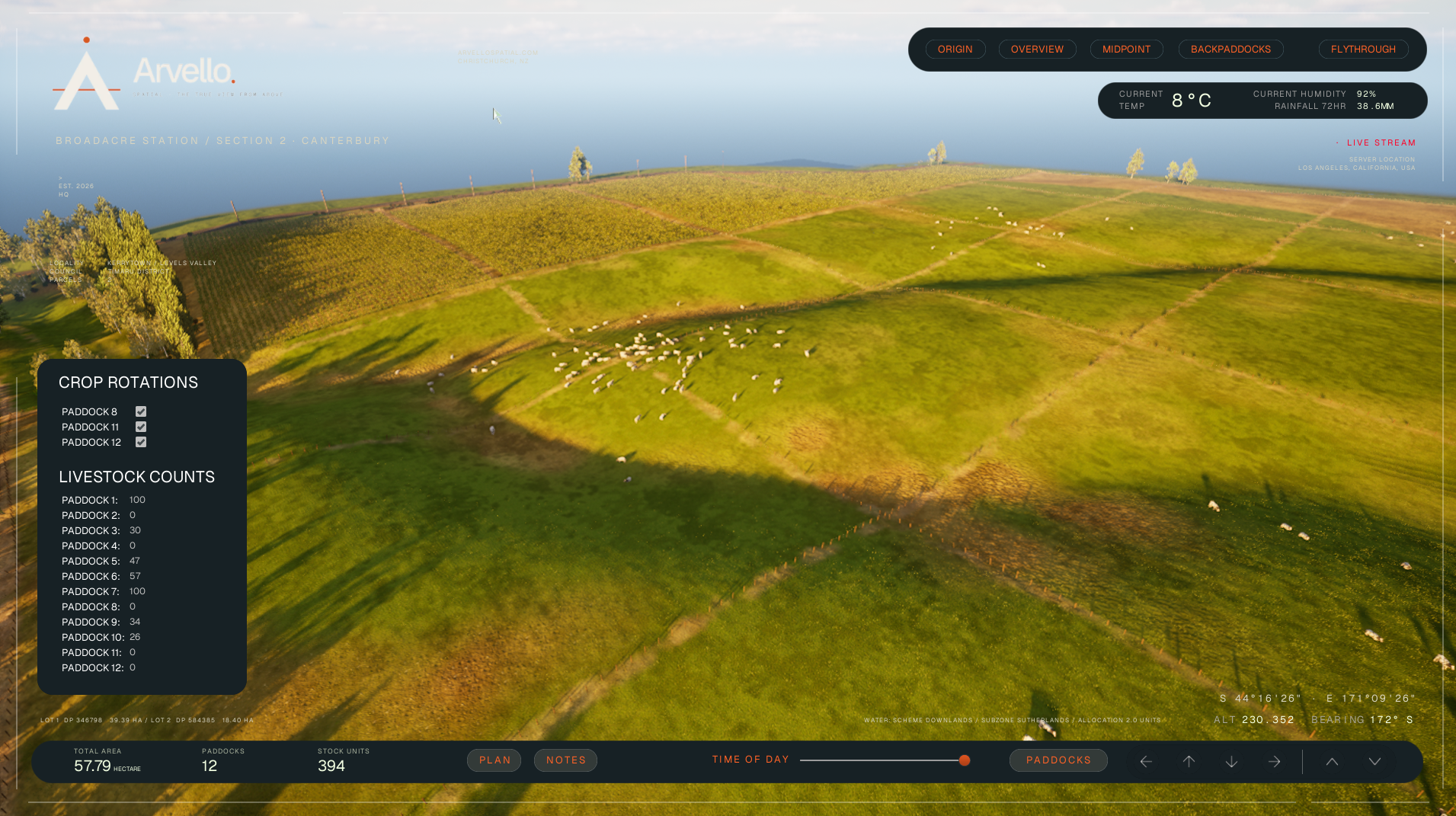
Stock numbers. Set cattle numbers per paddock and move stock between them; the herd updates to match.
Crop rotation. Switch paddocks between grazing and crop, as on the real farm.
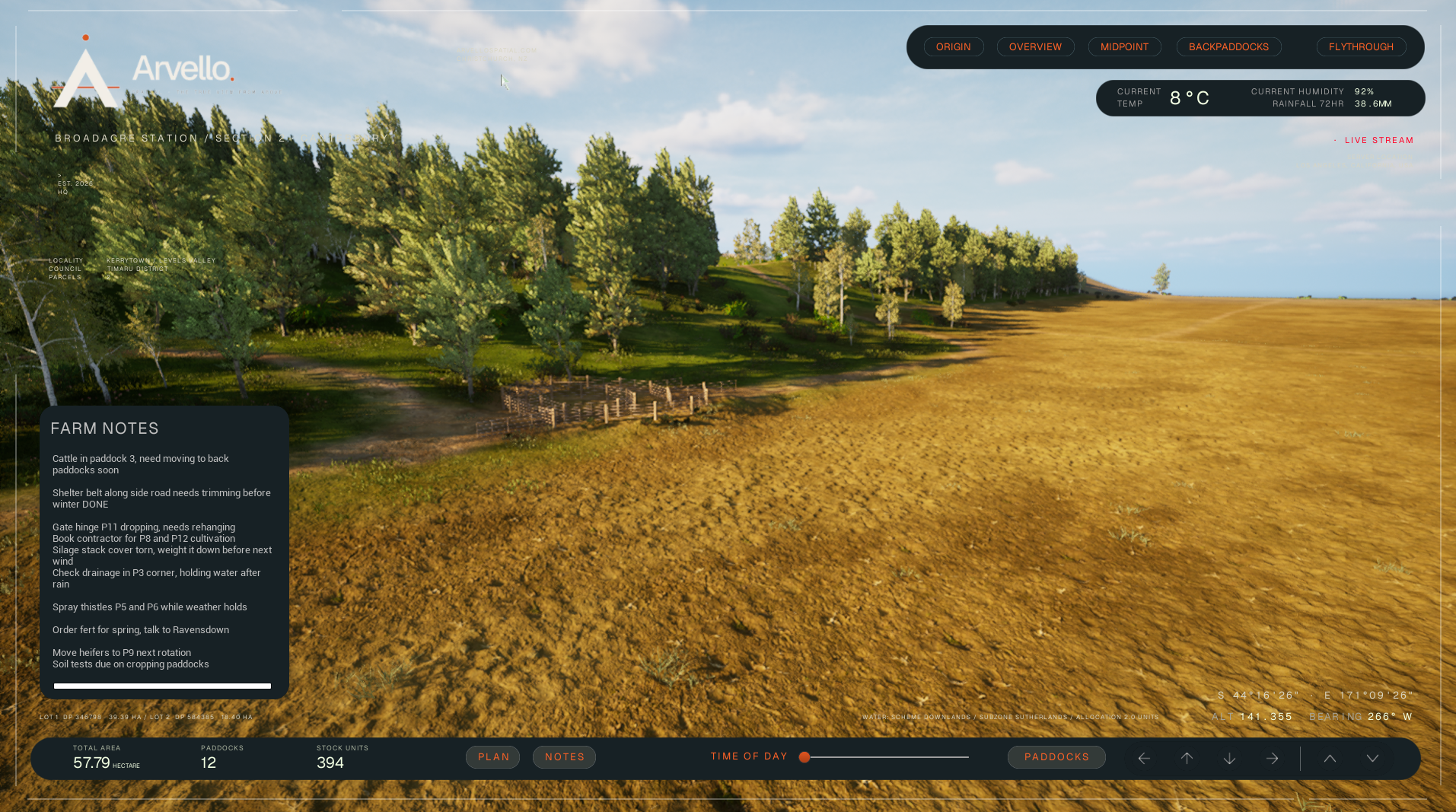
Notes. Record what needs doing, tied to where it is.
Live weather. Current conditions for the property's real location.
View modes. Preset cameras each showing only what matters for the question at hand.
Free navigation. Explore by keyboard or on-screen arrows, with a camera that follows the terrain.
Who it's for
The people making decisions about a farm often aren't the ones standing on it.
Investors and boards. A shared picture of land they can’t always visit.
Properties for sale. Remote buyers can explore before they travel.
Larger operations. One visual reference for staff, contractors and stakeholders.
It doesn't replace walking the land. It means everyone starts from the same picture.